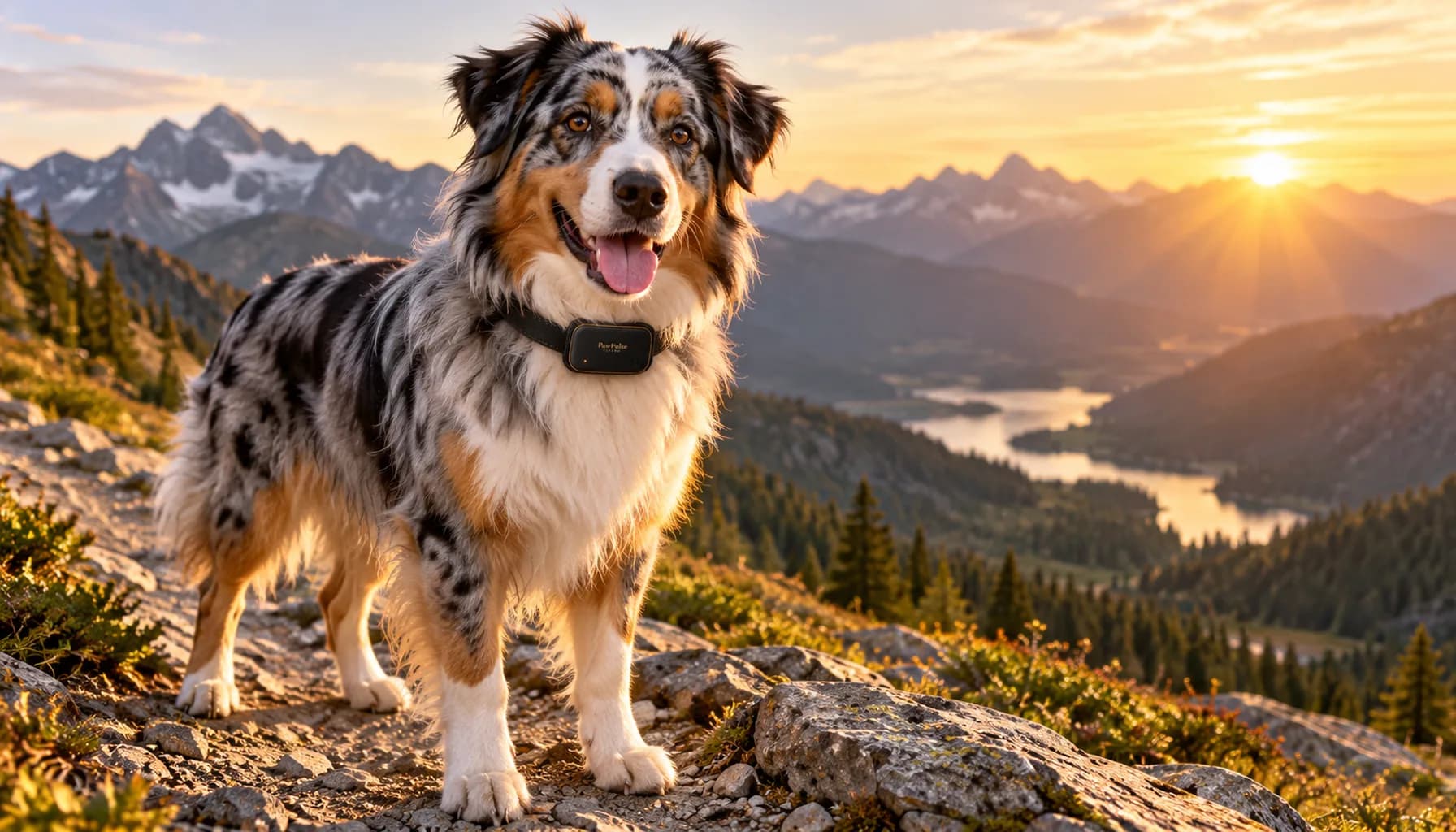
Key takeaway: The biggest hiking with dogs safety risk is heat from exercise, not hot cars. A 2020 VetCompass study by Hall, Carter and O'Neill of 905,543 UK dogs found that exertion triggered 74.2% of heat-related illness events, and most of those followed ordinary walks. Plan every hike around temperature, water, fitness, and a connectivity backup before you leave the trailhead.
Why Your Dog Will Not Tell You When to Stop
You feel tired, you slow down. You get hot, you drink. Your knee starts complaining, you turn around. Your dog feels the same things, but a dog on a trail with its favorite person is wired to keep going. Keep up. Stay with the group. Do not miss whatever is around the next bend.
That enthusiasm is most of the fun of hiking with a dog. It is also the reason the warning signs show up late. By the time a dog is visibly struggling, it has usually been struggling for a while.
We are a team of engineers and dog owners, and we hike with our own dogs. We built PawPulse, a smart dog collar with contactless heart rate and breathing monitoring, partly because we kept asking the same question on the trail: is that normal panting, or is it too much? This post is not here to scare anyone off the trail. It covers the five mistakes we see most often, and the simple fixes for each.
Mistake 1: Thinking Heat Is Only a Hot-Car Problem
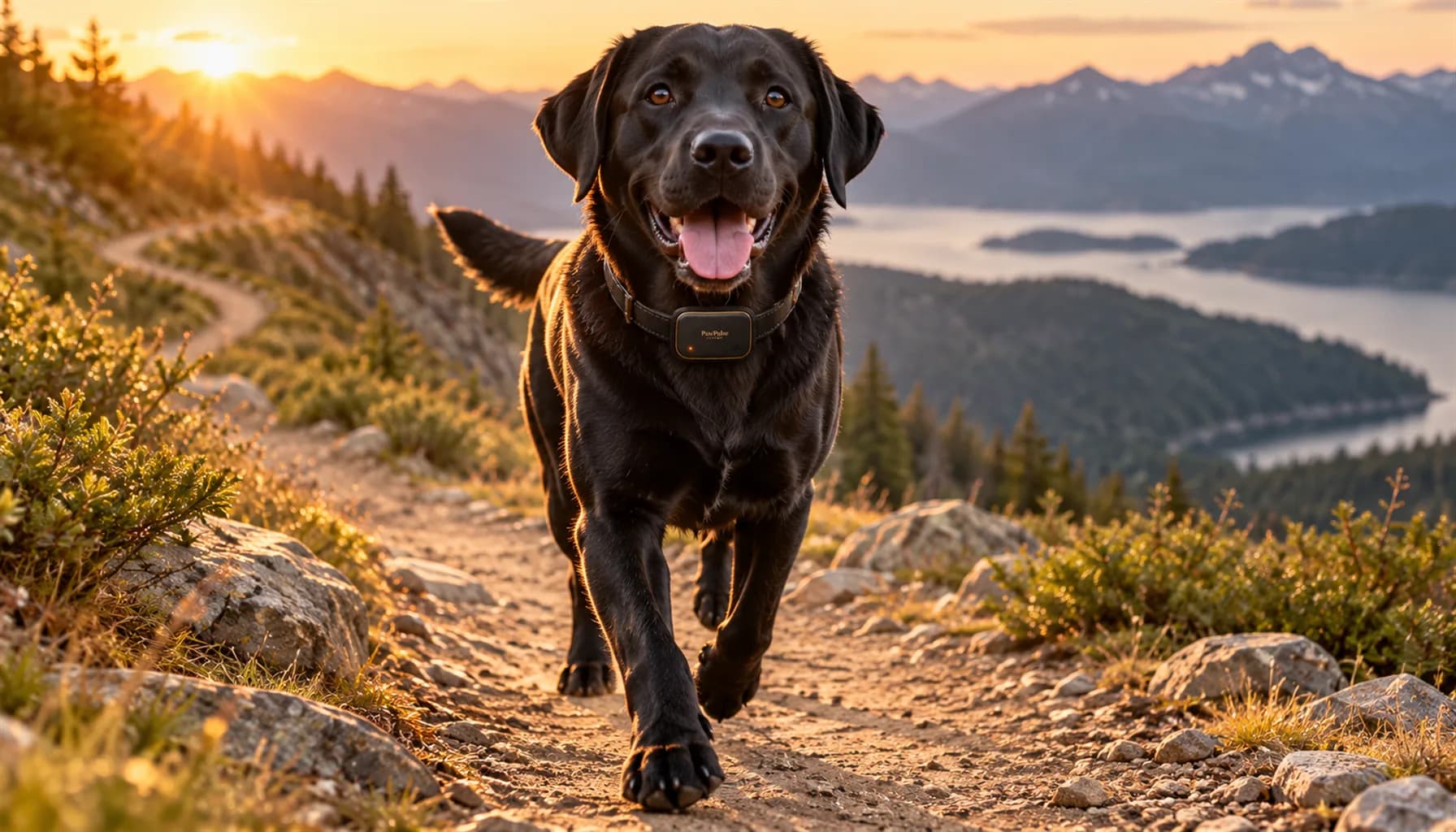
Most of us learned that dogs die in hot cars. True, and important. But the data says the trail is the bigger risk. In the 2020 study published in Animals (Hall, Carter and O'Neill, 2020), researchers reviewed UK veterinary records and found exertional heat-related illness was the leading trigger at 74.2% of events, ahead of hot weather alone (12.9%) and vehicle confinement (5.2%). Where the type of exercise was recorded, 67.5% of those events followed walks, not marathon runs. The authors concluded that in the UK, exertion affects and kills more dogs than hot cars do.
Dogs shed heat mainly by panting, which is much less effective than human sweating. A day that feels pleasant to you on an exposed, sunny climb can be hard work for a dark-coated or heavy dog. The same study found brachycephalic (flat-faced) breeds such as Bulldogs and Pugs had higher odds of every type of heat-related illness.
When heatstroke does happen, it is serious. A retrospective study in the Journal of Veterinary Internal Medicine (Bruchim et al., 2006) reviewed 54 dogs seen for heat stroke at a university teaching hospital: overall mortality was 50%, half the dogs arrived with a body temperature of 105.8F or higher, and arriving at the hospital more than 90 minutes after the event and obesity were both linked to death.
The fix: hike early or late, pick shaded routes in warm months, take real rest breaks, and turn back at the first signs of heavy panting that does not settle during rest, bright red gums, thick drool, or wobbling. If a dog collapses, start cooling with cool (not ice-cold) water and get moving toward a vet at the same time. Do not wait to see if it passes.
Mistake 2: Guessing Instead of Watching the Trend
Most owners judge trail effort by eye: pace, tongue, ears, attitude. That works until it does not, because a happy dog can look fine while working much harder than you think.
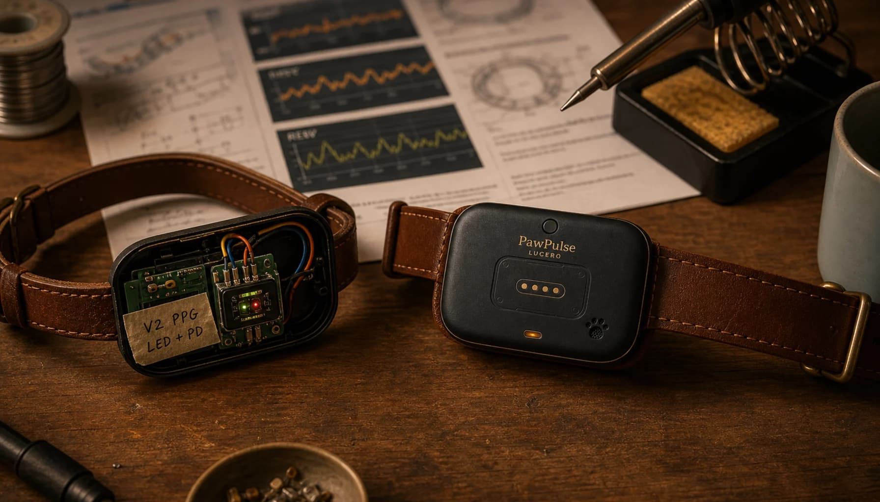
This is the problem we designed PawPulse Lucero around. Its Kinetic sensing measures heart rate and breathing rate through fur without touching the skin, so on the trail you can see a trend instead of guessing. What matters is the pattern: does your dog's breathing rate come back down during a five-minute shade break the way it usually does, or does it stay high? A dog whose numbers recover is pacing well. A dog whose numbers keep climbing between breaks is a dog you should turn around.
The collar does not replace your eyes or your judgment, and it is not a medical device. It gives you context to act on earlier, and a record you can bring to your vet afterward.
Mistake 3: Skipping the Fitness Check
Not every dog is ready for every trail. Breed, age, weight, and conditioning all matter more than enthusiasm.
- Puppies are still growing, and most vets advise keeping long, steep, or repetitive hikes off the schedule until growth plates close.
- Senior dogs with stiff joints often push through discomfort rather than show it.
- Overweight dogs run hotter and tire faster, and obesity showed up as a risk factor for death in the Bruchim heat stroke study.
- Flat-faced breeds have less cooling capacity built in, as the Hall data shows.
The fix: build up over weeks. Start with short, flat loops, then add distance and elevation gradually. Before an ambitious trip, ask your vet whether your dog is ready. If you have a few weeks of resting and post-walk trends from a collar, bring them. We wrote about how that kind of home data helps in how PawPulse data helps vets find what exams miss.
Mistake 4: Assuming Your GPS Collar Works Where You Hike
As we covered in the dead zone problem, most GPS collars send location over cellular networks. The GPS chip can still compute a position deep in the backcountry. The problem is getting that position to your phone once the cell signal disappears three miles past the trailhead.
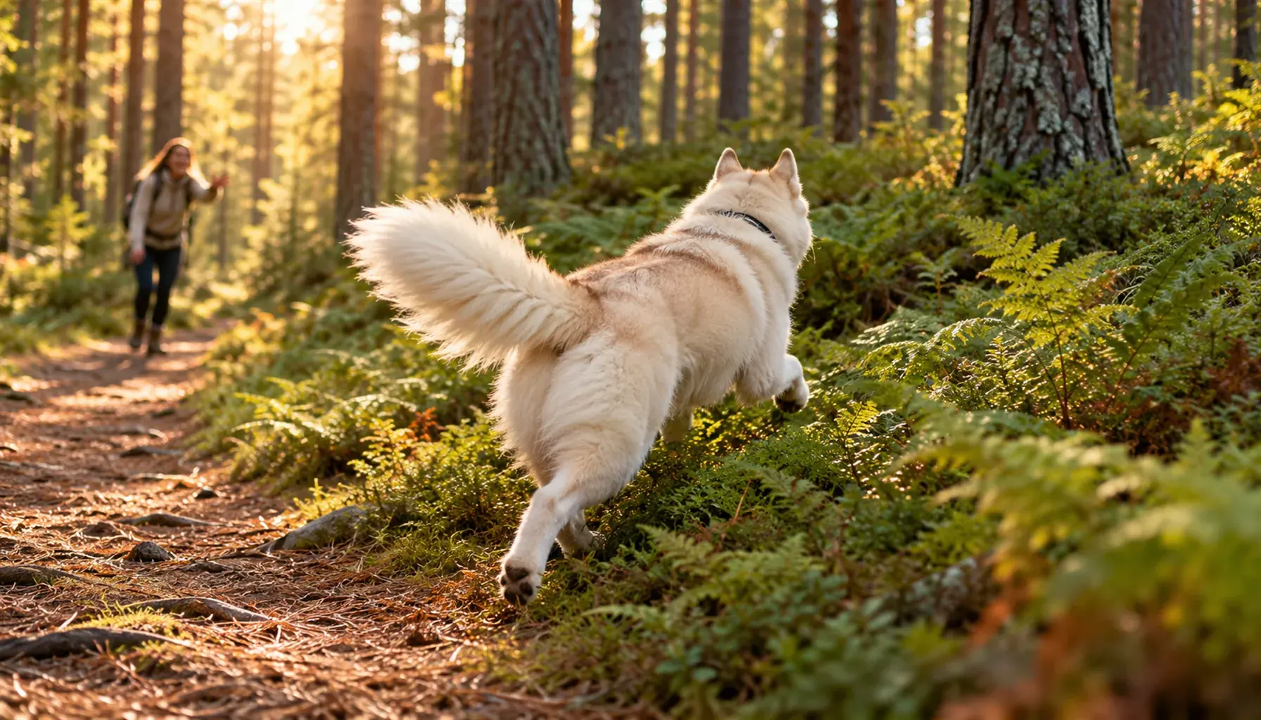
That is also where dogs are most likely to bolt: a deer, an unfamiliar sound, a scent trail through brush. And it is where finding them is hardest, with no neighbors, no shelters, and very few other people.
The PawPulse Lucero collar pairs cellular with satellite-ready backup, designed to keep location updates and geofence alerts moving when cellular drops out. Satellite availability depends on carrier support and certification. No collar replaces a solid recall and a leash in unfamiliar terrain, but knowing where your dog is gives you a much better starting point than a last-seen spot.
Mistake 5: No Water Plan and No Leash Plan
Panting costs water. Owners usually pack enough for themselves and underpack for the dog, or count on streams and ponds along the way. That is a gamble. The CDC (leptospirosis guidance) explains that leptospirosis bacteria spread through the urine of infected animals into water and soil, and lists dogs among the animals that carry it. Standing water and slow streams can also carry parasites such as Giardia.
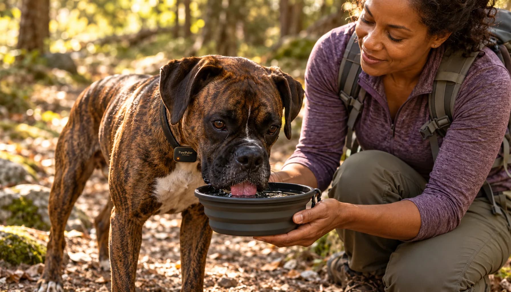
The fix: carry clean water for your dog, more than you think you need, plus a collapsible bowl. Offer water at every break rather than waiting for your dog to ask, because many dogs will not.
Leash rules matter too. The National Park Service B.A.R.K. Ranger program sums up its trail etiquette as Bag your pet's waste, Always wear a leash, Respect wildlife, and Know where you can go, and its parks require a leash no longer than 6 feet. Rules vary by park and trail, so check before you go.
The Trail Safety Checklist
| Before You Go | On the Trail | If Something Seems Wrong |
|---|
| Ask your vet if your dog is fit for the trail | Watch pace, gait, and lagging behind | Stop, move into shade |
| Build distance and elevation over weeks | Offer water at every break | Cool with cool (not ice-cold) water |
| Check the forecast and pick shaded routes | Rest in shade often on warm days | Check gums: bright red is a warning sign |
| Pack clean water and a collapsible bowl | Watch whether breathing settles during rest | Call the nearest emergency vet and start heading out |
| Confirm your GPS collar has a backup when cellular drops | Keep the leash on in unfamiliar terrain | Share your coordinates with your group |
| Pack a dog first-aid kit and know the nearest emergency vet | Respect wildlife and posted rules | Do not wait to see if it gets better |
What a Good Trail Day Looks Like
A safe trail day is not complicated. You pick the route for the dog you have, not the dog you wish you had. You start early. You stop before your dog asks to. You carry their water. You keep a leash handy and a way to find them if something goes wrong. When you get home, you look back at how they did and plan the next hike a little longer, or a little shorter.
Most trail emergencies are not freak accidents. They are a warm afternoon, a long climb, and a dog that would not stop on its own. A little planning, and a little more information, changes that math. For a wider look at what happens after a dog goes missing, see our breakdown of lost dog statistics.
Frequently Asked Questions
How hot is too hot to hike with a dog?
There is no single safe temperature. Humidity, sun exposure, shade, coat, breed, weight, and fitness all change the answer. Exercise is the most common trigger for canine heatstroke, according to a 2020 VetCompass study, so on warm days choose shaded routes, hike early or late, shorten the distance, and turn back sooner.
How do I know if my dog is overheating on a hike?
Watch for heavy panting that does not settle during rest, lagging behind, seeking shade constantly, bright red gums, thick drool, vomiting, or stumbling. Any of these means stop, move to shade, and cool your dog with cool water. If your dog is wobbly, confused, or collapses, head for a vet immediately.
Can my dog drink from streams and ponds on the trail?
It is safer not to rely on them. The CDC notes that leptospirosis bacteria spread through the urine of infected animals into water and soil, and standing or slow water can also carry parasites such as Giardia. Carry clean water and a collapsible bowl, and offer it at every break.
Should my dog be off-leash on trails?
Only where it is allowed and only with a reliable recall. Many trails, including most National Park Service trails that allow pets, require a leash no longer than 6 feet. Wildlife, cliffs, fast water, and other hikers are all good reasons to keep the leash on in unfamiliar terrain.
What should I pack for hiking with my dog?
Pack clean water and a collapsible bowl, a leash, waste bags, a basic dog first-aid kit, favorite rewards for recall practice, and the address of the nearest emergency vet. Add a GPS collar with a backup for areas without cell coverage, such as PawPulse Lucero, if you hike beyond reliable signal.
Does a GPS collar work on backcountry trails?
The GPS position itself works almost anywhere with open sky. The weak link is sending that position to your phone, because most collars rely on cellular networks that drop out in remote areas. A collar with satellite-ready backup is designed to keep updates flowing past cell coverage, subject to carrier support.
Learn more about PawPulse Lucero, the smart dog collar with satellite-ready backup and contactless heart rate and breathing monitoring, built for the trails and backcountry where most collars lose the signal.
-- The PawPulse Team